

It shouldn’t be surprising that, in the course of writing 252 stories, I have had a few that involved trips I have taken on highways and byways. The following is an attempt to revisit some of those trips, paying more attention to the roads traveled.
Among my 252 previous stories, I have had a few about trips on highways and byways. Here I attempt to revisit some of those trips.
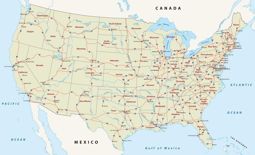
Planes, Trains, and Automobiles was about a 1970 hitchhiking trip up the coast from San Francisco to Seattle. That was likely to have been on Highway 1 or perhaps 101 up the California coast, then non-highway driving to get inland to Crater Lake in southern Oregon, then maybe Interstate 5 up through Oregon and Washington. But I don’t honestly remember what any of the roads were like, except the very winding and mountainous one we rode on with the guys we called Spin and Marty. Since we were always able to stand by the side of the road with our thumbs out, and cars were able to stop for us, it must not have been on freeways like we know them today.
In The Surrey With the Fringe On Top I described a 1957 family trip from Michigan eastward through Canada to Niagara Falls and then south as we headed home to New Jersey. I even reconstructed a map to show the likely route we took, using Google Maps and putting in the names of all the places we visited. But I have no idea which, if any, of the highway connections between our various stops shown on that current map actually existed at that time.
Both of those trips were taken before I was a driver myself, and consequently I didn’t pay any attention to what type of roads we were driving on, be they highways or byways.
I got my driver’s license in 1971, and when I graduated from college the next year, my parents gave me My 1966 Plymouth Valiant convertible. I did quite a bit of highway driving in that car, as described in the linked story, going on a ski trip to Vermont (where I had my first car accident), and then in 1974 driving across the country from Cambridge to California. The place where my car skidded on the ice in Vermont was one lane in each direction, and after I skidded across the other lane, I ended up on somebody’s front lawn, so obviously not a true highway. For the cross-country trip, I tried to reconstruct it on Google maps to figure out what route I took, but it was a little confusing. I think it must have been primarily on Interstate 80, except for the beginning part through Massachusetts and New York, and then a detour south from Cheyenne, Wyoming into Colorado to visit my sister. I know I had a TripTik from AAA to navigate the whole journey, which was a huge help, but surprisingly, I don’t seem to have kept it.
In Girls Just Wanna Have Fun I described driving from Palo Alto to Oakland on a wild New Year’s Eve in 1979, going on what might be called byways, because there was no freeway connection between those two cities at that time. Here’s how I described the trip, during which I was somewhat stoned and driving someone else’s car, which I had never driven before:
“I had no idea how to get from Palo Alto to Oakland, and this was long before GPS or any kind of route guidance. All we had was a Triple A map of Northern California, and someone was trying to navigate from that, although it required turning on the interior light in the car, which made it hard to see the road. Most of the route was on roads that were not highways and did not have much lighting or signage, so reading the map was crucial.”
Amazingly, we made it, but all I remember of the roads was that they were very dark and deserted!
Nowadays with GPS in our cars and on our phones, we don’t even necessarily notice what roads we are driving on, we just follow the disembodied voice saying turn right, turn left, take this onramp, take this exit. When we get to our destination, do we even know whether we were on highways or byways?
Note on the title: If you are wondering where Bob Dylan’s Highway 61 is, it runs from Duluth, Minnesota to New Orleans. I have never driven on it, although I have been to both Duluth and New Orleans.

A wonderful compendium of your past travel stories, Suzy, which I much enjoyed re-reading. Plus you raise the exact question I wonder about myself when I recall trips from many years ago: what was my route and how did I ever find the place? And I usually come up with the same answers: I don’t recall and I have no idea. Though I do remember having a folder of directions from various friends as to how best get to their weekend homes in remote areas — as in anywhere outside of New York City or Boston.
But you also nicely point out at the end of your story the opposite issue. We may now get to where we are going more easily, but how much do we actually see (and appreciate) of our trip en route?
And, happily, I actually recognized your song title title this week. And even remembered the album cover photo of Dylan.
Yes, the folder of directions. For a while they were handwritten from phone conversations, then later printed out on a computer. But always complicated, and filled with landmarks to watch for.
Amazing that it was ok to hitchhike back in 1970. By the way, were you a Spin or Marty fan? You are right about GPS guided trips. I concentrate so hard on that voice that I hardly notice where I am going.
I hitchhiked all through college. Only stopped when I got my own car in 1972. Never worried about how dangerous it might be, although I was careful about who I accepted rides from. I don’t honestly remember anything about Spin and Marty from TV – were people fans of one or the other? I suspect one of the guys who picked us up was actually named Marty, and somehow we stonedly started calling them Spin and Marty. Neither of us can remember now.
Always a bit of a Luddite, I am new to Google giving me directions as I drive. Far better than paper maps!
Wow, Dave, you ARE a Luddite! And you’re actually younger than most of the people on this site!
I got my first smartphone in August because my carrier was going to discontinue the 2G service flip-phone I have had for years!
You have had lots of fun driving adventures, Suzy, both with family as a child, and on your own, in various cars throughout your life. That New Year’s Eve was particularly memorable.
Betsy, I hope you noticed that I changed the title of the New Year’s Eve story because of your suggestion!
My favourite part was about Palo Alto to Oakland, back when there was space between the cities now ringing the Bay, merging together and traversed by mega-highways. I can picture the navigator with the map under the light. It must have been a wild ride.
I still remember that drive so vividly, although not the names of the roads we were on. Of course, I may not have even known their names at the time.
Thanks for this recap, Suzy. Your recollections of the actual roads and routes taken are about as specific as mine. I was especially interested in your Palo Alto to Oakland trip, because roads in Oakland are particularly quirky, particularly around freeway entrances and exits. It’s really easy to get caught on one-way streets or go around in circles.
I think we probably did go around in some circles, now that you mention it. It’s miraculous that we even found the house in Oakland where the second New Year’s Eve party was.
Suzy, your memory for details and chronology never ceases to amaze me, I do remember reading some of your earlier travel stories.
I do miss those AAA TripTiks and all those wonderful maps we kept bunched up in the glove compartment! And spreading them over the steering wheel and squinting at them under the dome light at night in a dark car. And buying the plasticized ones to replace the paper ones that would always rip at the folds!
Car trips were more adventurous in those good ole pre-GPS days!
Yes, I have fond memories of the TripTiks and the maps. And I had forgotten how the maps always ripped at the folds, but you’re so right. Never knew about the plasticized ones though. Those were fun times!
A great catalog of trips, Suzy! Can you imagine a time when you could hitchhike and have a reasonable expectation of having a safe if uneven journey. I’m guessing you guys didn’t spend a lot of time standing idle by the roadside!
I have a pretty clear picture of you roaring along the highways and byways in your Valiant convertible. Yahoo!
Another bit of lore about Highway 61. As it follows the Mississippi south to New Orleans, it passes through Mississippi state. That flat, farmed bottomland stretch of Highway 61 has produced a legendary number of blues artists, including Mance Lipscomb, B. B. King, blues originator, bedeviled Robert Johnson, Son House, Muddy Waters, Howlin’ Wolf, Sonny Boy Williamson, Ike Turner, Sam Cooke, James Cotton, Jimmy Reed, and Junior Parker. So that would have been quite a trip for you and Bob Dylan, who spent his early years in Hibbing, Minnesota, very close to Duluth.
I do miss that time of safe hitchhiking. So glad I got to do it when I did. And you’re right, we generally got rides pretty quickly.
Thanks for the info about all the great blues artists produced along Highway 61. Would love to say I took that trip with Bobby Z., but it would be a pretty big stretch of the truth.
I don’t miss pre-GPS days of navigation via Triptik, maps and seat of the pants. I don’t miss stopping to ask weird strangers in weird gas stations for directions (I can hear the banjo from “Deliverance”). I don’t miss being very lost on a dark night in the middle of nowhere. And for what it’s worth, I don’t miss my piece of shit 1970 Volvo that wouldn’t start at the first drop of rain, or a thick mist for that matter. I do miss my late wife’s efforts to navigate us through the wilderness while my throat tightened in the face of the unknown.
Thanks for your comment, Jon. I loved TripTiks, but am very happy to have GPS now. Too many times getting lost because of being unable to see the street signs (esp. in Providence). And yes, asking for directions in gas stations could be scary too, but even scarier if there was no gas station open and I had to ask some random passerby.